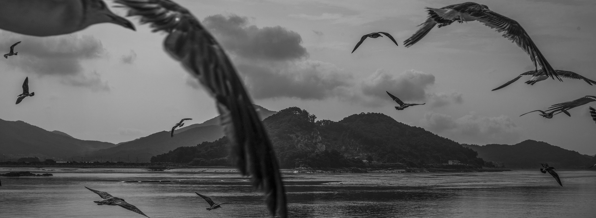
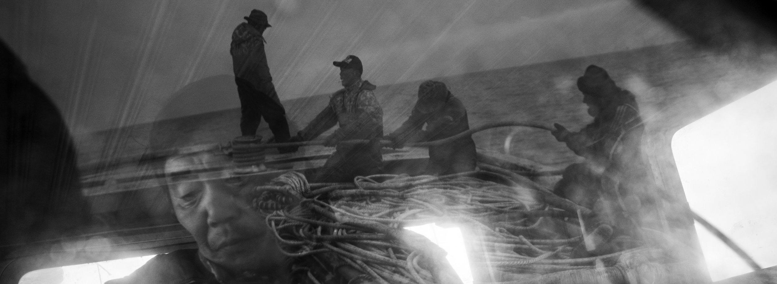
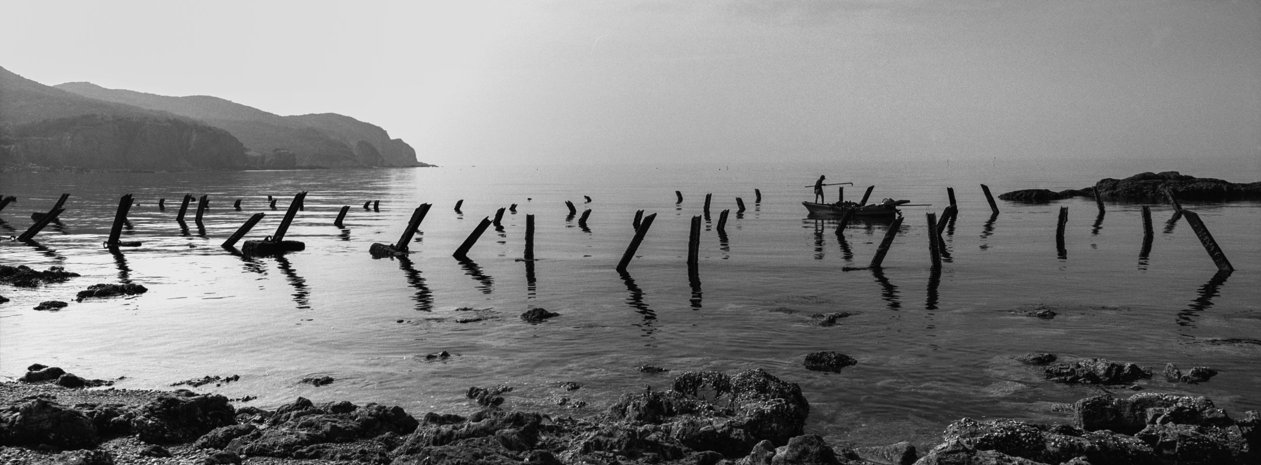
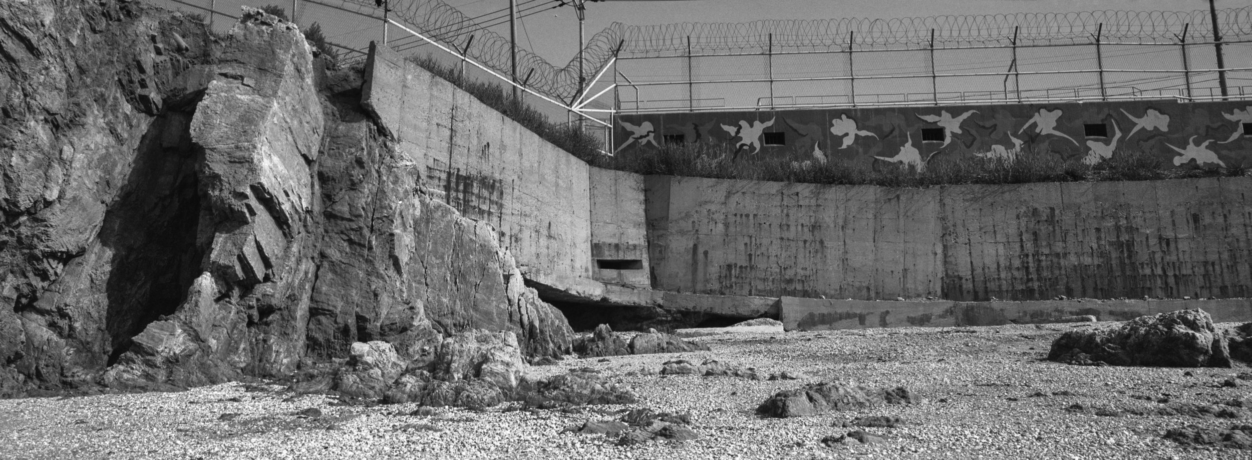
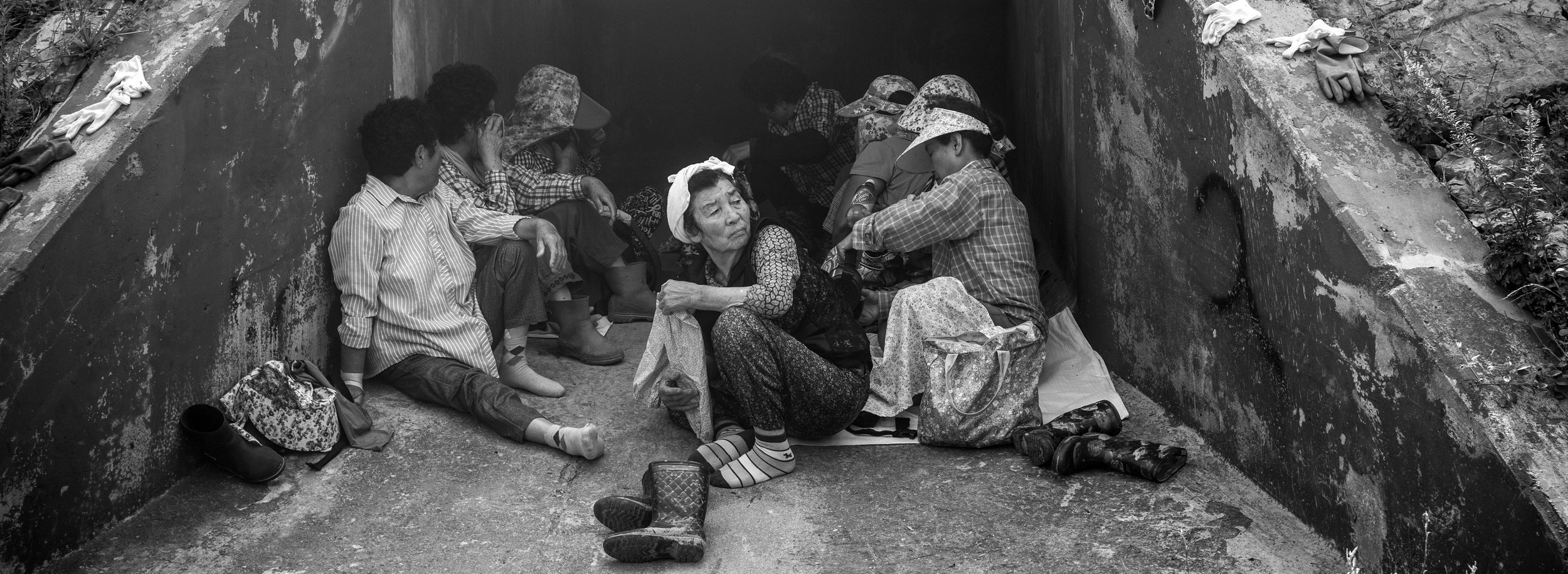
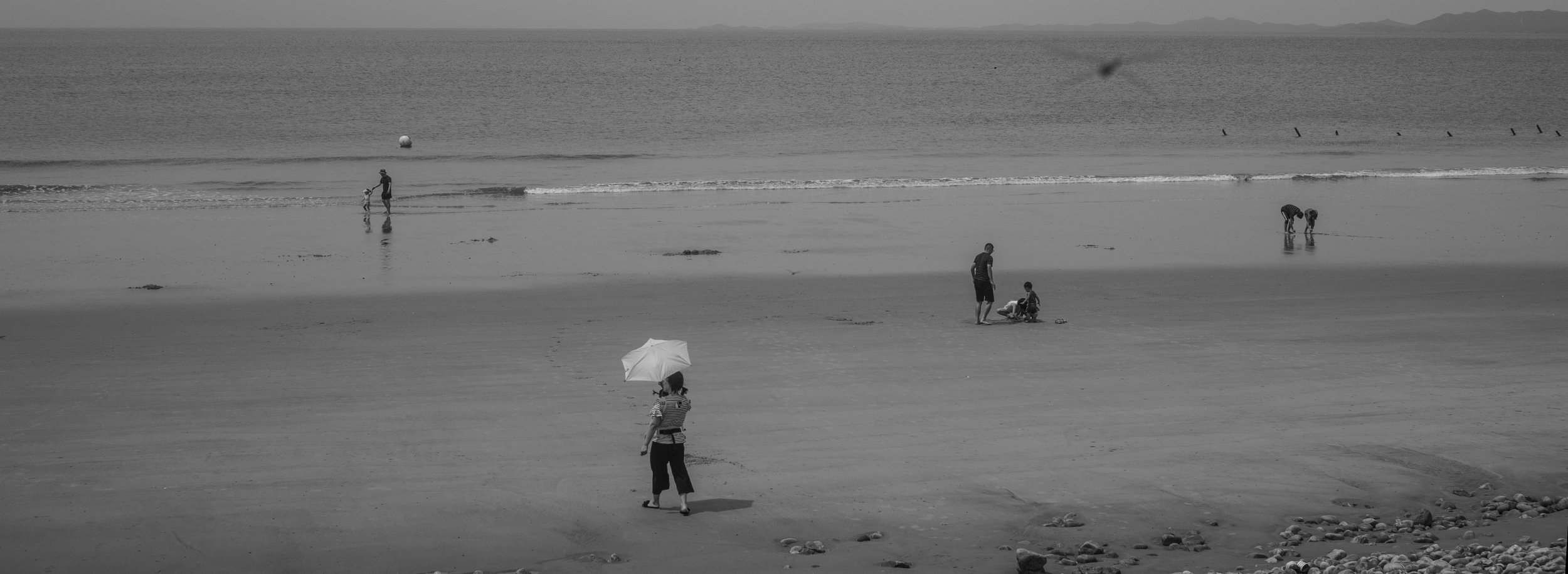
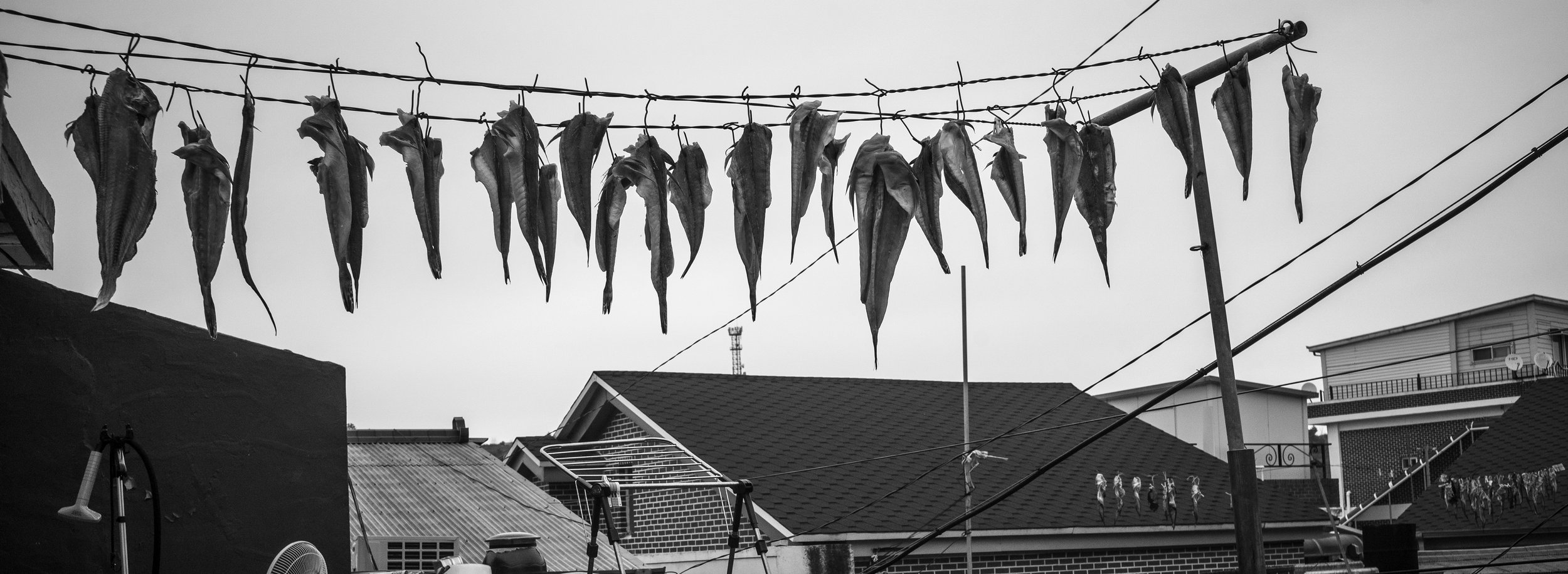
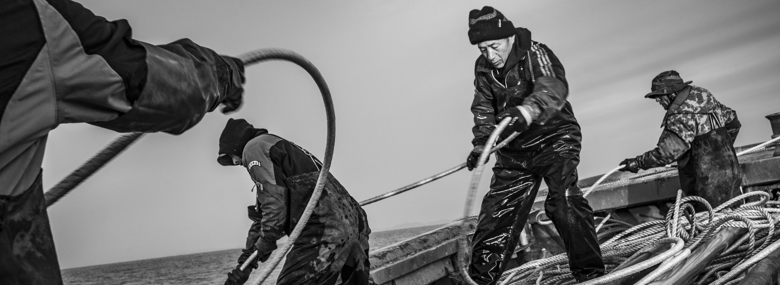
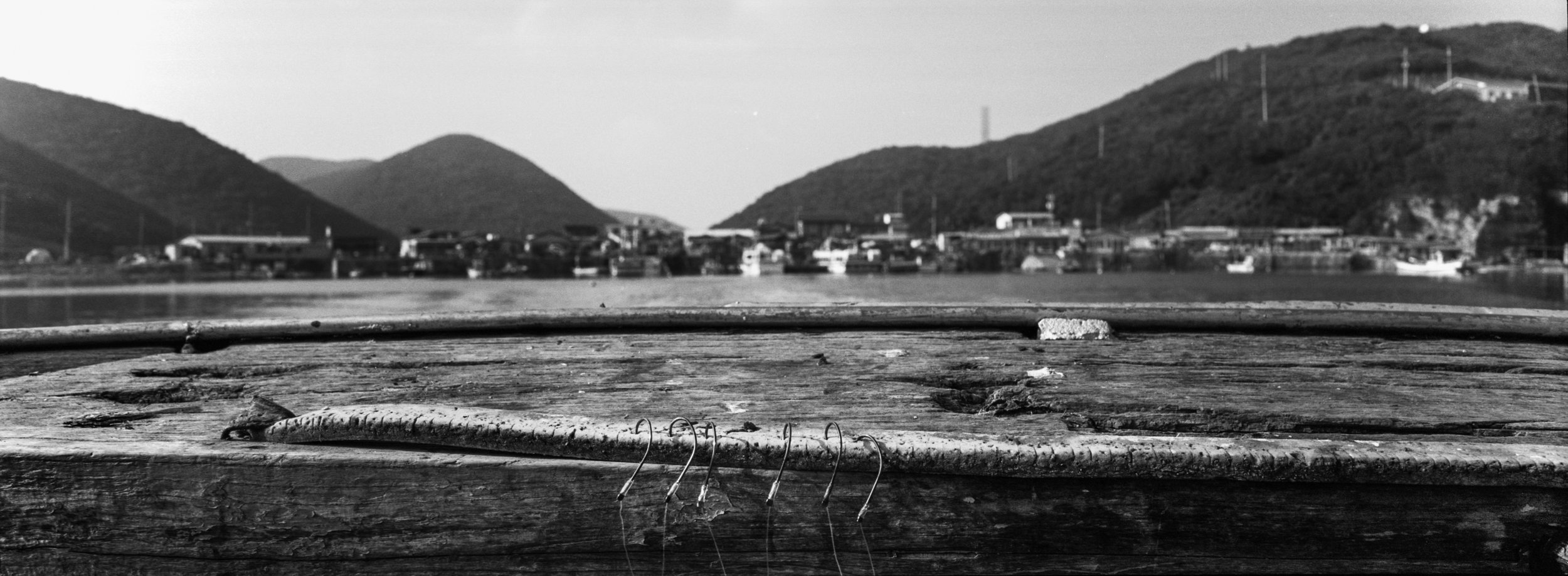
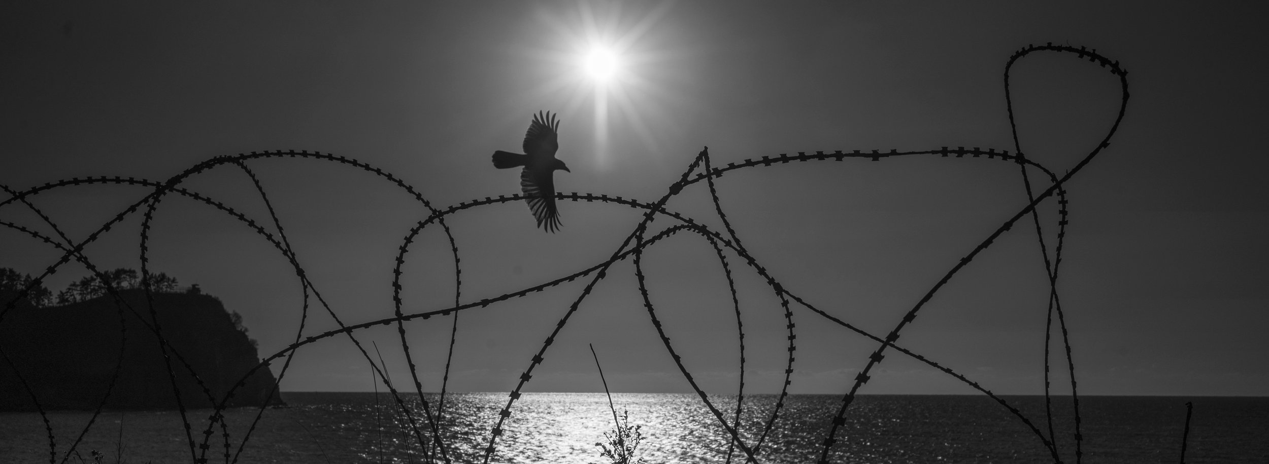
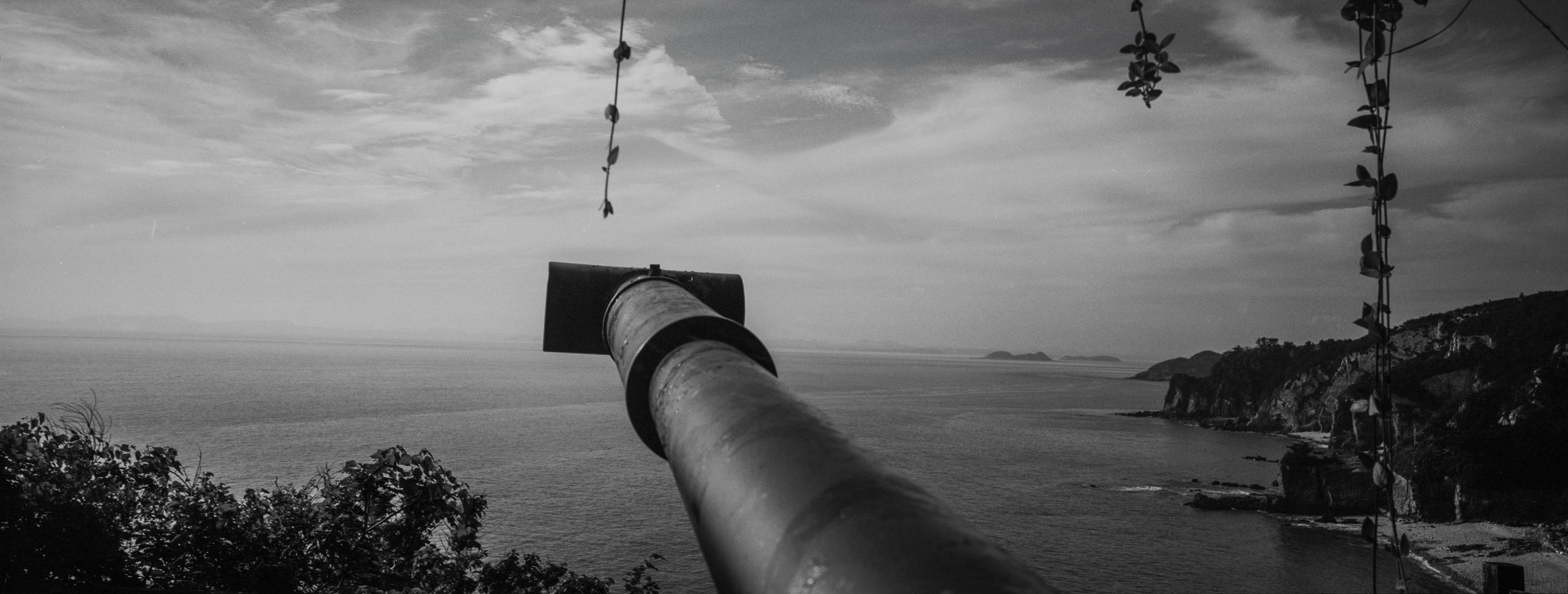
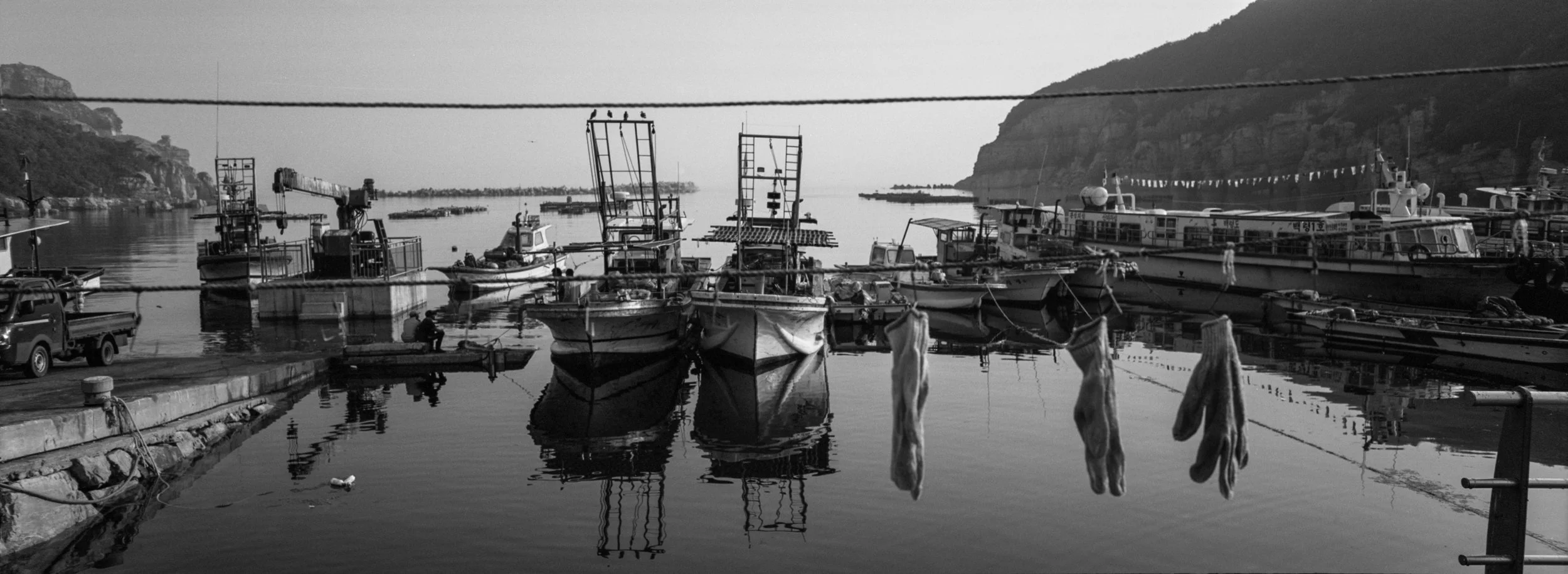
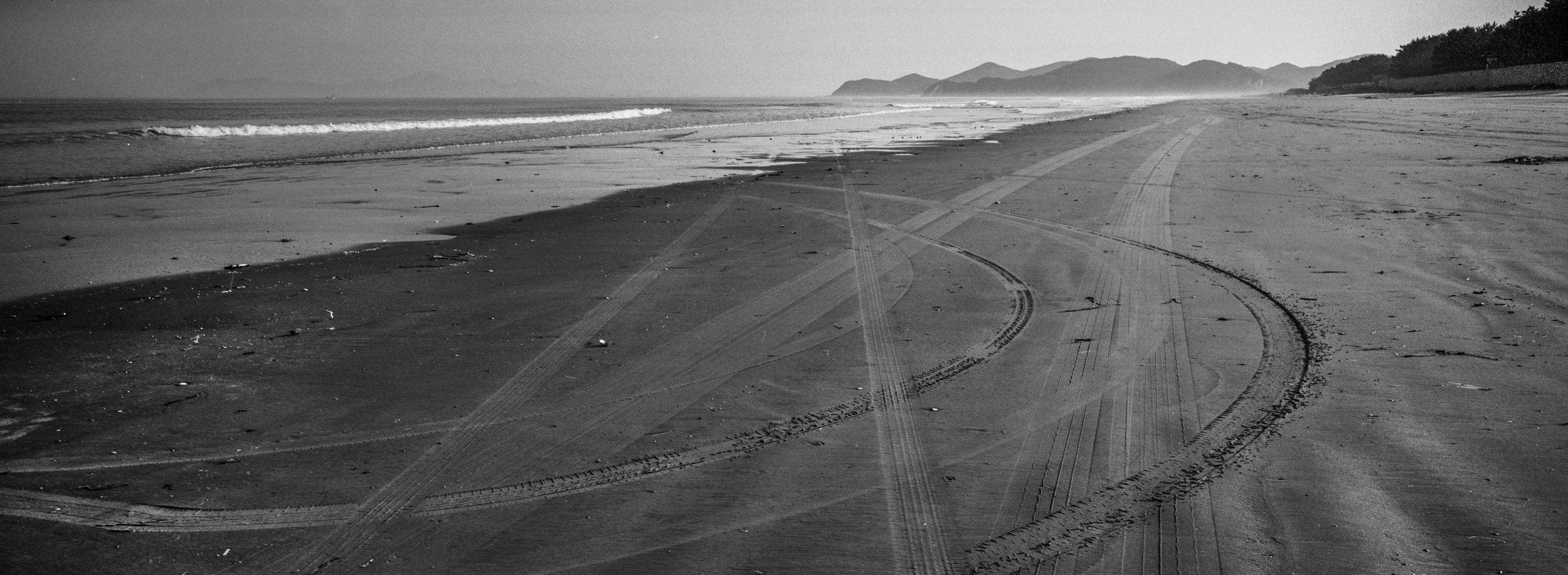
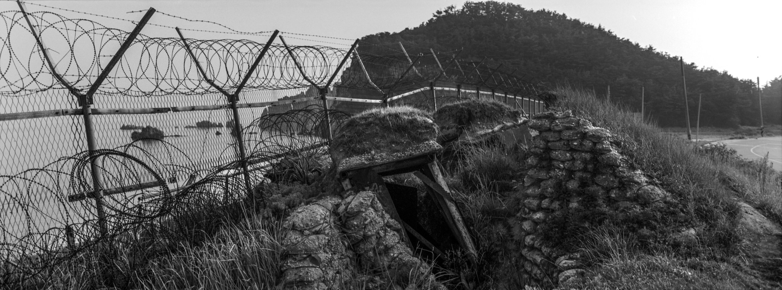
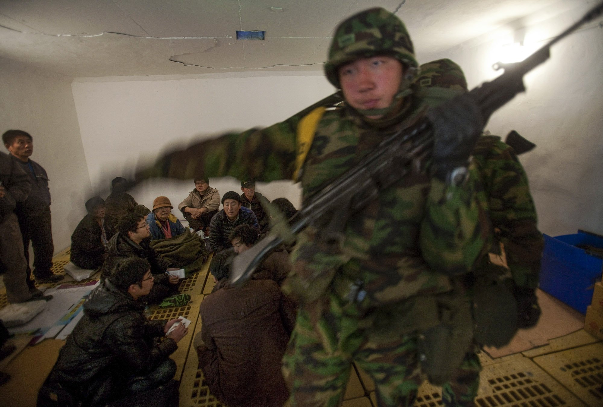
Scattered along the "Northern Limit Line", an invisible boundary in the Yellow Sea that divides the waters of the two sides of the Korean Peninsula, are a string of tiny islands controlled by South Korea but claimed by North Korea. On these rocky outcroppings, islanders fish for blue crab in contested waters, bunkers have been built in every neighborhood for shelter, Korean War relics stand on the hillsides and razor wire encircles the seafront. Half the population are South Korean Marines and their families.
When the Demilitarized Zone was created at the end of the Korean War, both sides insisted the division of the Korean Peninsula would be temporary. Soon, they said, Korea would be united again. But more than seventy years later the DMZ is still there, separating two of the world’s most bitter enemies. But the DMZ not only divided the land and seas. For 60+ years it has divided the Korean people, separating families indefinitely.
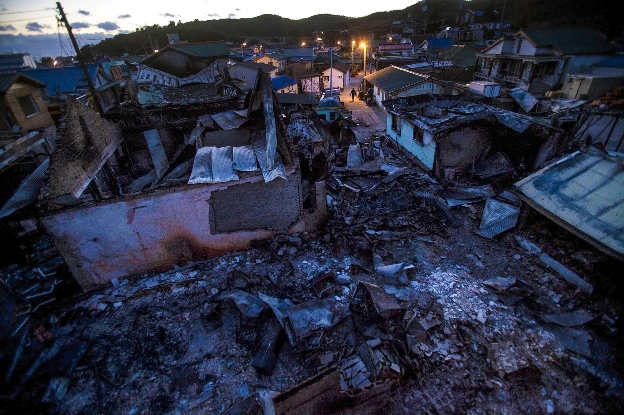
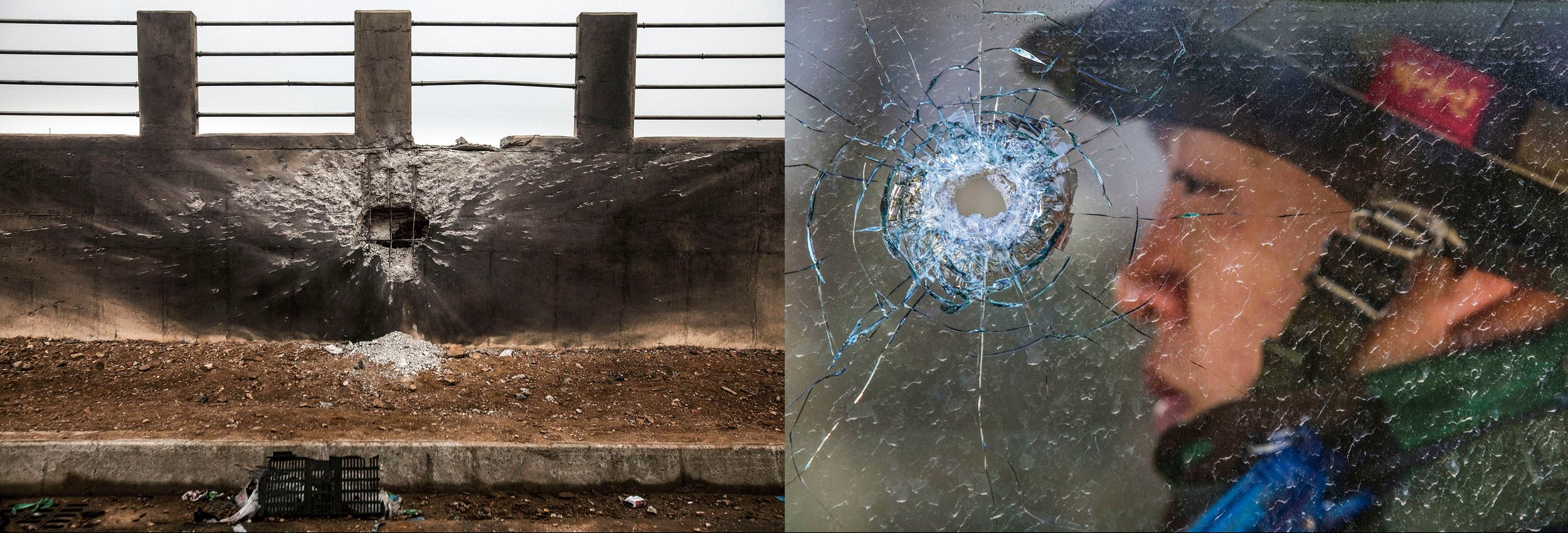
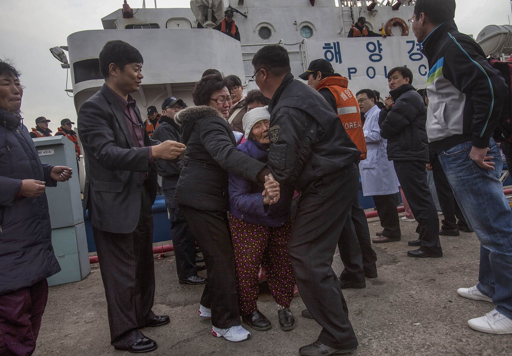
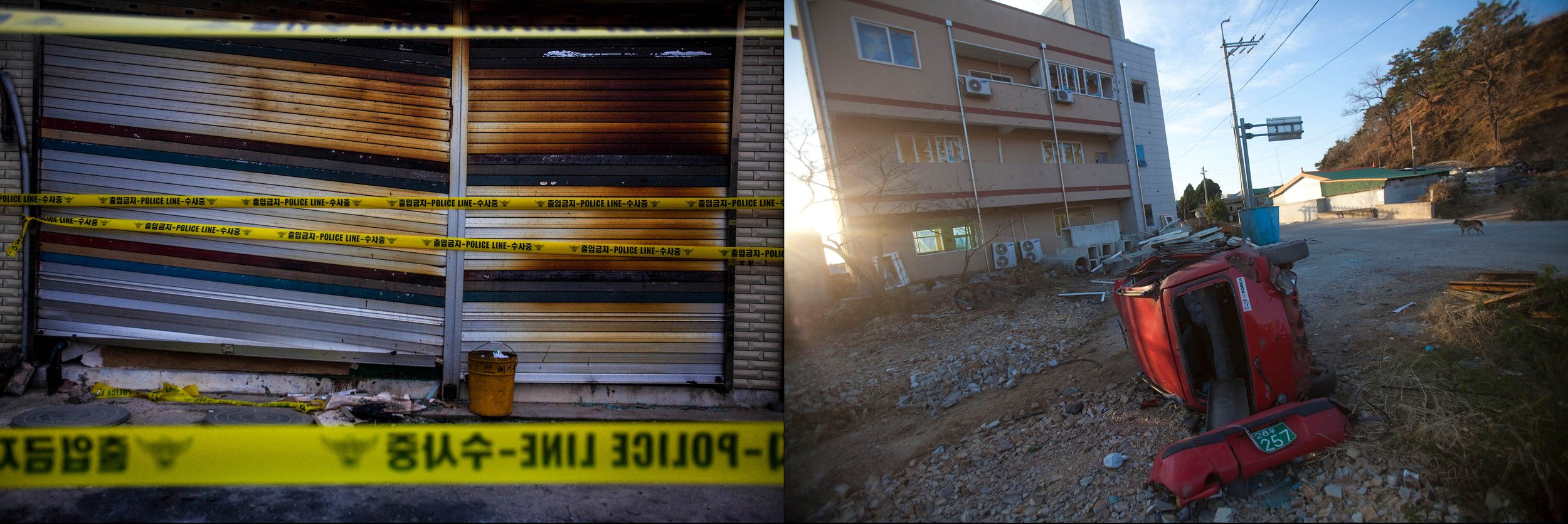
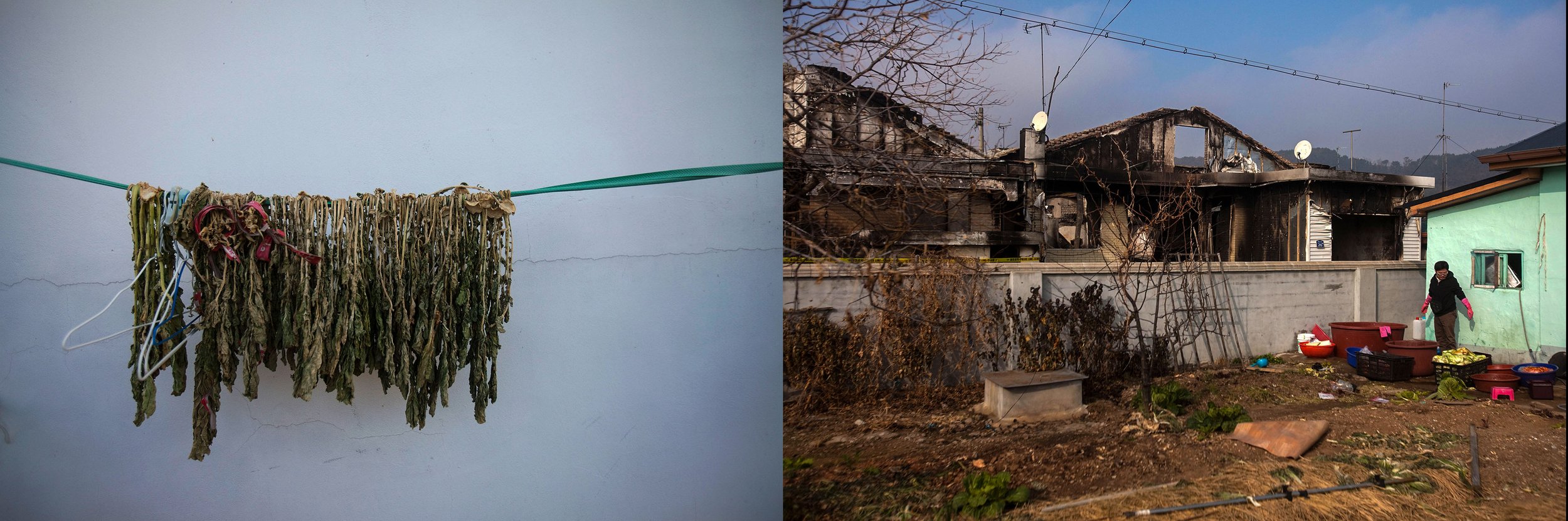
The islands are some of the most cut-off places in Asia yet still stand closest to war. In 2010 the Cheonan, a South Korean navy ship, sank killing 46 people. Then, in November, the North launched an artillery attack on Yeonpyeong Island killing a civilian and razing much of the island’s main port town. I rushed to Yeonpyeong Island in 2010 to photograph the evacuation of its civilians and the aftermath of the attack. Now I wanted to go back, while there are renewed fears of a Korean War, to photograph these islands on the line.